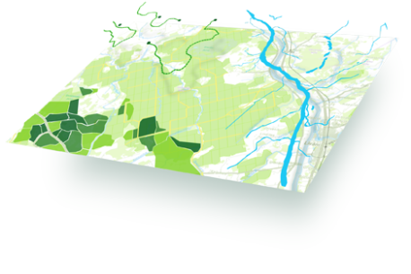
LVM GEO offers spatial data processing, spatial analysis and cartographic material preparation. Spatial data is an important source of information to organizations whose economic activities are related to geography, assisting in informed decision making and sensible resource allocation.
The spatial layout of data—as well as relationships and interactions between them—can provide perspective on a company’s business operations, development prospects, industry competitors and many other business-related parameters which would otherwise be limited without this spatial dimension.
The LVM GEO team has extensive experience and expertise in geospatial data processing and spatial analysis—using not only industry standard tools, but also developing custom data processing, analysis and presentation tools to support client needs.