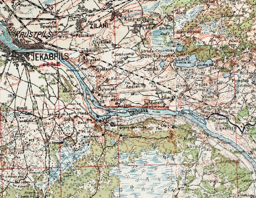
JSC Latvia's State Forests offer historical topographic map of the Latvian Army Headquarters WMS service in a scale 1:75 000 (1921-1940) that covers whole territory of Latvia. This is the most detailed historical topographic map in Latvian covering whole country. The map was developed and maintained by the Geodesy and Topography unit of the Latvian Army Headquarters from 1921 to 1940. WMS servise is available using this link:
https://lvmgeoserver.lvm.lv/geoserver/ows?service=wms&request=GetCapabilities&layer=public:topo75LKS