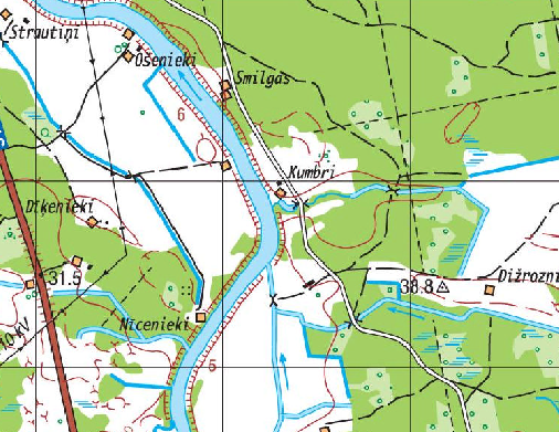
JSC "Latvijas valsts meži" offers everyone interested in the topographical map of the Latvian Geospatial Information Agency (LGIA) at the scale 1:50 000 WMS service covering the entire territory of Latvia. The topographic map of LGIA is derived from databases of a military topographic map in scale 1: 50,000. WMS servise is available using link: