map of latvia

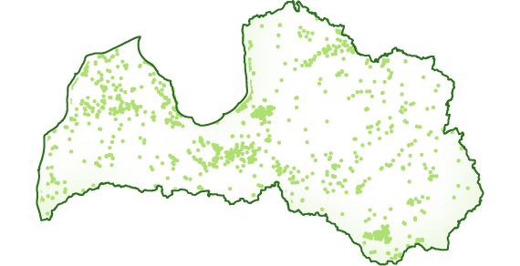
JSC Latvia's State Forests (LVM) culvert geospatial data layer contains information on culverts in territory owned, possessioned and managed by LVM. The culvert is a construction that ensures the flow of water. It can be built under a forest road, under the road descent or on a ditch pads.

LVM culverts geospatial data .shp layer and the description of data

LVM culverts SHP

zip / 1.2 MB

LVM culverts DOCX

docx / 161.26 KB

LVM culverts geospatial data .gdb layer and the description of data Geodatabase has been created with ArcGIS 10.3.1. version

LVM culverts GDB

zip / 806.67 KB

LVM culverts DOCX

docx / 161.3 KB

2. līmeņa izvēlne datu sadaļā

  • Data
  • Services