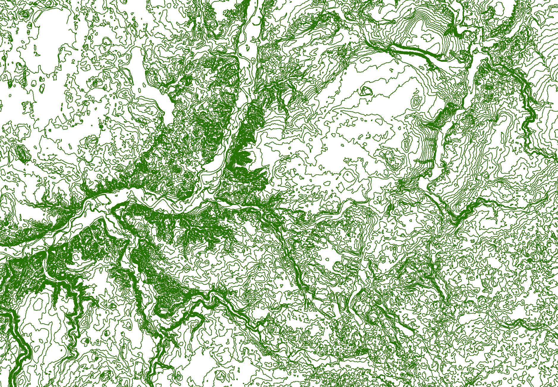
AS "Latvijas valsts meži" offers for everyone interested in a freely accessible contour lines vector layer. The layer contains information about contour lines with a 2meter step. The data is prepared automatically using a 15-meter terrain model, created from the LIDAR point cloud ground class points (aero laser scanning data from 2013-2019 LGIA). Data are available in the LAS - 2000.5 normal height system. Automatically generated data in loosely flat ground relief areas forms loops, connecting as many as possible high value points of equal value. Such loops in contour lines data are observed on the waters, bogs and plains. In the moment, manually-specified data are not available, as it requires a great amount time resources of specialist. Manually corrected data, higher detail, and lower horizontal step data we provide as a paid service.
For those interested in getting information about adding new data and services, as well as about service malfunctions, we invite to fill out the email form available here. Data used for data preparation: Basic data of the digital earth surface model © Latvian Geospatial Information Agency, 2019