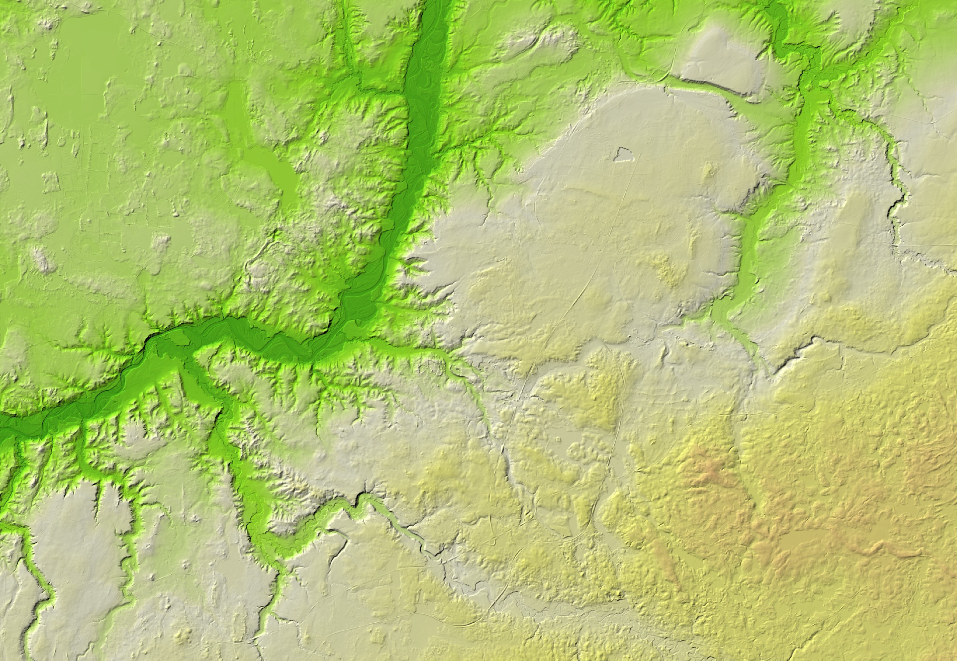
JSC Latvia's State Forests offer digital terrain model WMS service. This service has been developed by LVM GEO remote sensing experts using manually classified Latvian Geospatial Information Agency airborne laser scanning data.
LIDAR point cloud with resolution of 1 m has been used for the development of this service and for better visualization relief shading has been used. For specific territories our experts can also develop service with resolution of 50 cm.
As soon as more airborne laser scanning data will be avaiable covering missing territories, we will add those to this service.
This service is available along other LVM GEO published WMS services:
Service is prepared using: Digital terrain model source data © Latvian Geospatial Information Agency, 2019.