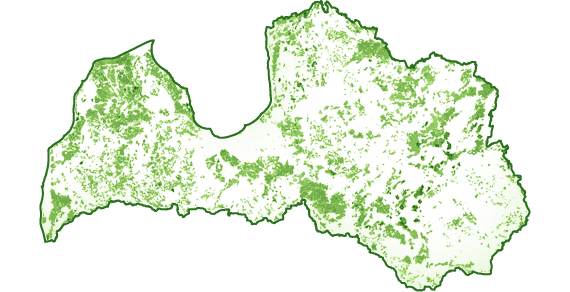
Land units geospatial data layer contains information about cadastral units.
The names of all owners who wanted to publish their block boundaries can be seen below in the list.
The attribute table contains information on cadastral number and cadastral identifier of the property.
Land units geospatial data .shp layer and the description of data
AS Latvijas valsts meži land units SHP
zip / 7.81 MB
Latvijas Finieris mežs land units SHP
zip / 363.1 KB
Sodra Group land units SHP
zip / 3.11 MB
SUSAB land units SHP
zip / 0.98 MB
Meža pētīšanas stacija land units SHP
zip / 112.12 KB
MPKS Mežsaimnieks land units SHP
zip / 1.01 MB
Land units DOCX
docx / 158.52 KB
Land units geospatial data .gdb layer and the description of data. Geodatabase has been created with ArcGIS 10.3.1. version
AS Latvijas valsts meži land units GDB
zip / 5.21 MB
Latvijas Finieris mežs land units GDB
zip / 284.83 KB
Sodra Group land units GDB
zip / 2.37 MB
SUSAB land units GDB
zip / 759.3 KB
Meža pētīšanas stacija land units GDB
zip / 97.58 KB
MPKS Mežsaimnieks land units GDB
zip / 772.86 KB
Land units DOCX
docx / 158.46 KB
