Spatial Planning Optimization
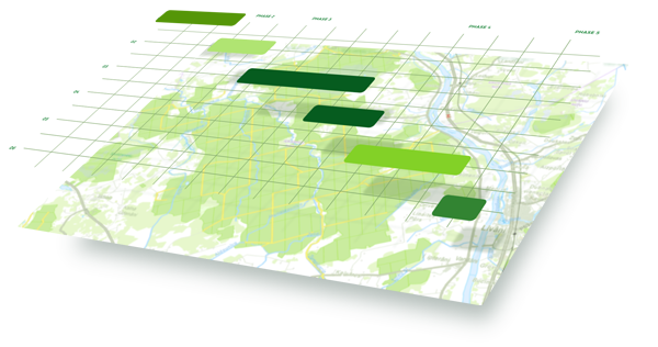
Spatial optimization models allow companies to spatially plan and optimize economic activities and land use over various time periods in accordance with the company’s strategy. Scenarios can be created and compared, and the models allow clients to analyze and determine the economic potentials of their companies. We use client`s forest inventory data as an input for the models.
LVM GEO offers development, customization and maintenance of a variety of spatial optimization models. These models are designed to support decision-making processes and efficient planning of business operations.

Remote Sensing Services
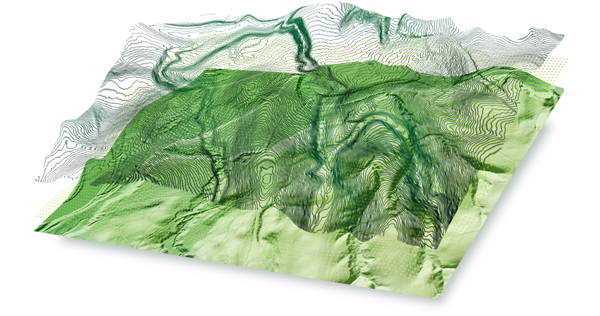
The LVM GEO team offers remote sensing services that include processing, analysis and service development of data obtained from various remote sensing instruments. Remote sensing data is an important informational resource and support for decision-making processes. The potential applications of these data are practically unlimited in scope. Remote sensing data can provide information on terrain, overgrowth, land use, objects and other geospatial information relevant to economic activities—data which would otherwise be impossible to obtain from field inspections alone.
GIS Development
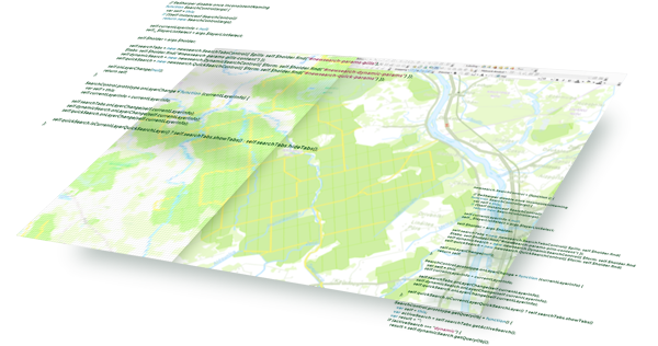
LVM GEO division offers installation and customization of the LVM GEO Platform or its individual modules according to client requirements or GIS development to support business needs. LVM has developed and built the LVM GEO Platform—one of the largest and most versatile geospatial information platforms in the market. The LVM GEO Platform is modular and multifunctional, and the functionality of its basic module is easily customizable for various business needs. The Platform is developed by internal resources, and the LVM GEO development team’s experience-based competence allows us to offer GIS development, customization and maintenance to clients in various industries.
Project Management and Consulting
GIS implementation can be an important step in the development and improved efficiency of a company whose economic activity is assisted by spatial data and spatial planning. The research and planning phase—in which technologies are adapted to the company’s specific business direction, strategy and operational specifics—is crucial to the successful implementation of GIS and other GIT. The project management and professional development teams are critical factors for successfully maximizing innovation at the company.
Spatial Data Processing and Analysis
LVM GEO offers spatial data processing, spatial analysis and cartographic material preparation. Spatial data is an important source of information to organizations whose economic activities are related to geography, assisting in informed decision making and sensible resource allocation.